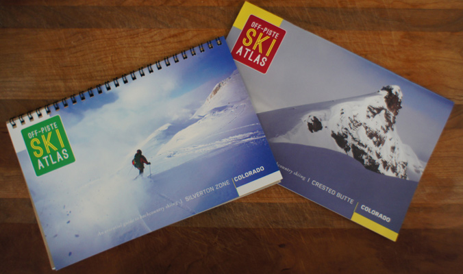
Andy Sovick, Colorado native and owner of the guidebook company Off-Piste Ski Atlas LLC, has produced two books since 2013, “The Essential Guidebook for Backcountry Skiing: Crested Butte” and the same titled book for Silverton. In his books, he’s careful to strike the balance between helping skiers explore the backcountry and spilling local secrets. “Instead of talking about keeping places a secret, we should be talking about how to keep everyone traveling well, smart and safe,” Sovick says. “It’s only going to get more crowded, whether or not there’s guidebooks.”
Now, Sovick is looking ahead to create three new guidebooks for Leadville, Targhee and an undisclosed location. And he’s working with Project Zero to promote safe and smart backcountry travel through his guidebooks, too.
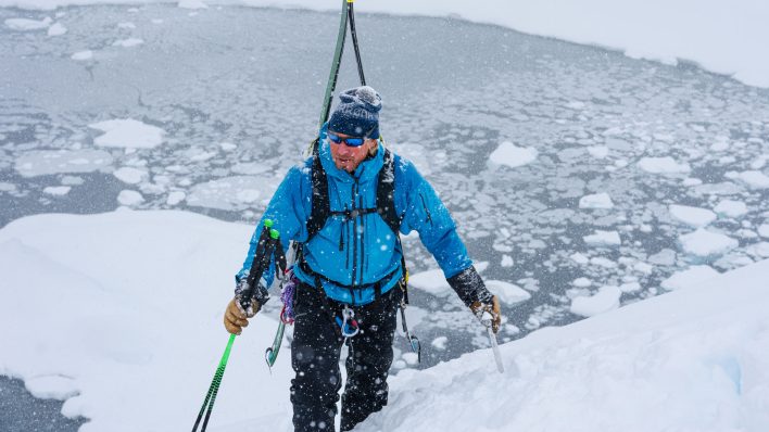
[Photo] Andy Sovick
Backcountry Magazine: What was your motivation for creating guidebooks?
Andy Sovick: I was first inspired by my friend, Brady Johnson, who wrote a guidebook for his area behind Grand Targhee. He was an old college friend. He wrote a guidebook for that spot, and I thought it was perfect. It was a great guidebook, and I decided I wanted to do the same thing for my own area, so he encouraged me and told me to do it and told me what his process was. I basically took it from there. And it was so much fun, I decided that I had to keep doing it.
BCM: So you’re working on three new guidebooks. What places are you covering?
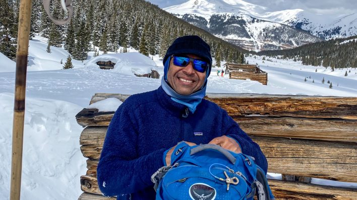
[Photo] Andy Sovick
BCM: I’ve read that these books are great for coming in cold to a location and getting right into the backcountry. How do you design your guidebooks to achieve that?
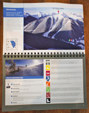
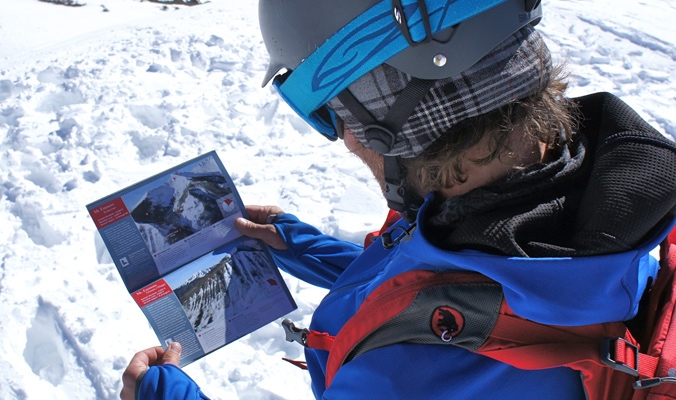
AS: Well, I guess that’s the idea of all guidebooks. I wanted a really high quality aerial photograph. When I used to ski bum in the Tetons, they had that guidebook that’s been around for at least 15 years, 20 years maybe. It’s just an aerial-photograph guidebook. It doesn’t say anything about how to get to trailheads, doesn’t have any GPS coordinates, anything. All it does is show that aerial image. And that was so important to me. I thought that any guidebook for skiing should have a good aerial photo of the spot, because that’s the main variable for skiing. That’s what is so difficult about being able to ski safely and smart: knowing what’s below you and what the terrain is. Even if you skin up to the place where you’re going, you can’t always understand the terrain and all the subtleties on the descent route.
And then, after that, I thought it would be really helpful to give trailhead info. All the other stuff that you see is getting more into usability of backcountry. I feel like with the recent explosion of backcountry skiing, we’re going to start seeing—well, we’ve already seen—a number of issue pop up, like too many people, a lot of people at the trailhead, parking problems, ethics around ascent and descent and how to deal with other people in the same spot. I feel like that’s where the other information in the guidebook comes in handy.
With my first guidebook and my other guidebooks—this is a tangent—Lou Dawson with WildSnow critiques guidebooks, and he’s critical of guidebooks that don’t include GPS coordinates. And it’s worth a discussion, but I think he’s right. So I started including those, because Lou Dawson thinks it’s important (laughs). And it’s just embracing technology; more and more people are using GPS coordinates. It’s much easier to write down coordinates than it is to explain directions to a parking spot. So, to that effect, they’re pretty useful. So I started including that, too.
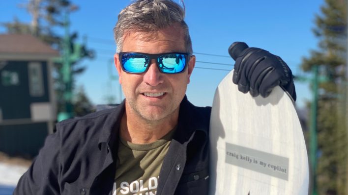
[Photo] Andy Sovick
BCM: Have you found any tension between producing the guidebooks and giving away local spots, especially now that you’re including GPS locations?
AS: I haven’t met much resistance personally. I hear about people grumbling about it, and I’ve received two e-mails from one person who’s really upset about it. Otherwise, I’ve heard so much praise and a lot of excitement, and even better, people calling me and e-mailing me with ideas and ways to move forward with things that could be useful in the next guidebooks.
I’m a backcountry skier and I grew up in Colorado, and I’ve been witnessing just as much as anyone else has the explosion of population in the backcountry. So I’m sensitive to it, and it was probably the main thing that held me back and kept me hesitating starting to write guidebooks. The idea of secret spots and giving away too much information really influenced how I wrote the guidebook, which places I chose to showcase and the overall format of the book. The places in Crested Butte and Silverton that I listed are the low hanging fruit. In Silverton, in particular, you can see almost all of those spots from the road. I try to choose places that aren’t necessarily top secret and try to pick the places that are kind of the Teton Pass of any area. If there’s a spot where there’s already a large population of people, it’s already going to be very tracked up, and instead of talking about keeping it a secret, we should be talking about how to keep everyone travelling well, smart and safe, because it’s only going to get more crowded, whether or not there’s guidebooks.
BCM: That actually segues well into my next question, which is about how your guidebooks fit in with the goals of Project Zero. How can guidebooks help reduce avalanche fatalities?
AS: I’m been talking with Ben Pritchett (Program Director for the American Institute for Avalanche Research and Education) and Tom Murphy (AIARE Board of Directors).
I’ve spent some time with AIARE and Project Zero now and we’ve come up with a plan. The short of it is that all future atlases will be laden with information on each page about the characteristics of the terrain as it relates to avalanches (i.e. starting zones, terrain traps, typical snowpack, typical weather/conditions to be aware of…etc.). All information will be directly from AIARE and CAIC professionals. The upcoming online version of the atlas will be full of avy-knowledge features too.
I’m really inspired by Project Zero. I think it’s a fantastic and noble idea and a great way to start talking about backcountry skiing. And I think the guidebooks are a great venue for Project Zero to get the word out. It’s just one little thing, one piece of media among all the players in Project Zero.
The guidebook is kind of geared toward the target audience of Project Zero; the type of people who might buy a guidebook are also probably the type of people who are interested in listening to Project Zero’s campaign. I’m basically opening up to them and saying, I want to help. So that’s where we’re at right now. There’s only so much you can do in a book, but all sorts of visuals and graphics, notes and things like that, and in the near future, my books will be in digital format, you can buy the e-books and people can just view it on their phone or tablet.
To the author: Thanks for recognizing the need to not publish everything you ski and give just enough of the popular spots to keep folks entertained. I have lived and backcountry skied around Breckenridge for thirty years and love my backyard for it’s solitude since we don’t have the best winter ski terrain and we don’t see many people out and about. But I have to say that I have seen a major increase in use here in Park, Summit and Clear Creek County due to a couple new guidebooks and one more in the works which have given away a lot, especially our limited options of north facing below treeline runs which this year are significantly more crowded with folks from out of town who ‘read about it in a guidebook.’ I love guidebooks and own many of them and hang out with plenty of guidebook writers, but there is a point where I think you need to keep more spots under the radar. After all, that is why we all backcountry ski right? Fresh Tracks, solitude and for me – exploring. Your ski atlas for Silverton is just the perfect balance and I am well aware of how much you left out. I also appreciate it’s packable size and your focus on what’s important – a great overview photo. I am sure the local skiers there appreciate what you left out as well. Thanks so much.