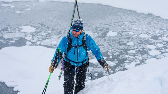
As the Western U.S. is doused in feet of new snow, avy danger is heightening, resulting in ratings ranging from considerable to extreme avy danger. While fresh powder is always alluring on some level, this is one of those times where playing it safe and staying away from slopes steeper than 30 degrees is the best option. Instead of taking on high risk, go drink a coffee and read a good book. Live to play another day.
Crested Butte Avalanche Center (CBAC)/Colorado Avalanche Information Center (CAIC)
You know the avalanche danger is high when a warning blinks like a stoplight on the homepage of the Colorado Avalanche Information Center website. The CAIC has issued a blanket warning for all regions under their purview in effect through Wednesday, January 11, stating, “Travel in or below avalanche terrain is not recommended during this warning period.” Snowfall totals in the last few days range from 10 to 30 inches across the region, and with the added element of wind, the snowpack is extremely touchy.
“Strong westerly winds continue to load upper-elevation start zones, so very large avalanches that run peak to creek are possible,” The CAIC states on their website. “Avoid all avalanche terrain—gullies and terrain traps, start zones and runouts in valley bottoms. This includes steep slopes just outside ski area boundaries.”
And with another storm forecasted that may bring wet snow, the CAIC predicts the danger rating will remain the same for some areas and spike in others.
To find out more about Colorado avalanche conditions, visit avalanche.state.co.us, and cbavalanchecenter.org. (Note:Since the writing of this post, the Crested Butte Avalanche Center has listed the area under their purview as having extreme avalanche danger.)
Northwest Avalanche Center (NWAC)
In the Cascade and Olympic Mountains, avy conditions are listed as considerable near and above treeline with danger ratings dropping to moderate below treeline. The primary instability in the snowpack is due to windslabs forming on westerly aspects.
“Avoid slopes above terrain traps in the below-treeline band, where recently formed weak layers may have been buried by new snow,” the NWAC advises. “New storm slabs are most likely in the south and central east Cascades today.”
To find out more about conditions in the Pacific Northwest, visit www.nwac.us.
Utah Avalanche Center (UAC)
Utah’s danger rating is currently not as high as Colorado’s, but this is expected to change overnight due to heavy snowfall predicted for the greater Salt Lake area. In the regions of Ogden, Logan and the Uintas, danger is listed as high for above treeline and considerable below treeline as of Tuesday, January 10. The exception to this is the above treeline, northeasterly aspect of slopes in the Logan area that are rated as extreme danger. Due to these heightened ratings, the UAC recommends steering clear of traveling under or skiing on any slope steeper than 30 degrees.
In the southern regions under the purview of the UAC, danger is considerable near and above treeline with areas of moderate danger below treeline.
“Those without careful snowpack evaluation, cautious route-finding and conservative decision-making should avoid the backcountry today,” the UAC recommends on their website.
To find out more about conditions in Utah, visit utahavalanchecenter.org. (Note: Since the writing of this post, the danger rating for all of Logan and the Uintas has spiked to Extreme.)
Gallatin National Forest Avalanche Center (GNFAC)
In Montana, ratings vary from moderate in the Bridger and Northern Gallatin ranges to considerable in the Madison, Southern Gallatin and Lionhead ranges, and finally high in the Cooke City area. The heightened danger is a result of new snow combined with wind that has created slabs in certain areas. Another factor: a weak layer created by a cold spell last week that left a surface instability behind now under a few feet of snow.
To find out more about conditions in Montana, visit www.mtavalanche.com.
Bridger Teton National Forest Avalanche Center (BTAC)
In Wyoming, considerable danger is widespread across the Teton, Togwotee Pass and Greys River regions, with southwest winds forming surface slabs at elevations near and above treeline. An earlier cold spell, along with sun, left facets and crust on the surface of the snowpack. Those facets and crust are now buried under these new slabs, forming a reactive instability.
The Bridger Teton Avalanche Center warns, “These slabs are likely to be easily triggered by skiers or riders who venture into steep, wind-loaded avalanche starting zones and cliff areas. These slabs are expected to be one to three feet in depth. Natural avalanche releases are possible.”
To find out more about conditions in Wyoming, visit www.jhavalanche.org. (Note: Since the writing of this post, the danger rating for the Greys River and Teton regions has spiked to Extreme.)
Sierra Avalanche Center (SAC)
For the regions under the purview of the Sierra Avalanche Center, the danger rating is blunt. It is listed as high for all elevations and aspects due to feet of new snow and strong southwest winds that have created large windslabs.
The SAC’s travel tips? “Travel on or below slopes steeper than 30 degrees is not recommended today. Very large cornices are expected to form along ridgelines, presenting an additional hazard.”
To find out more about conditions in California, www.sierraavalanchecenter.org.
—
As the winter progresses, it’s important to keep an eye on snowpack trends and instabilities. This is not a complete guide to avalanche forecasts, so stay informed and educated by visiting local avalanche forecasting websites and get educated about avalanche safety through programs like Know Before You Go, the Mountain Academy hosted by Solomon and Atomic and through courses offered by the American Institute for Avalanche Research and Education (AIARE) offered nationwide.
Related posts: